Difficult hike with a short, demanding section. Surefootedness and good equipment necessary. Pure walking time 5-6 hours. 16.9 km. 1150 metres altitude difference.
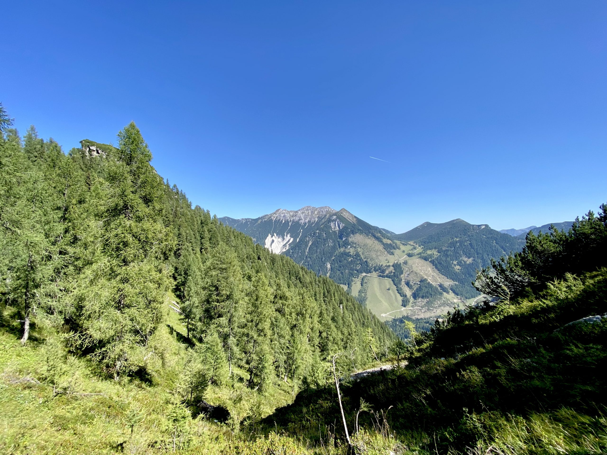
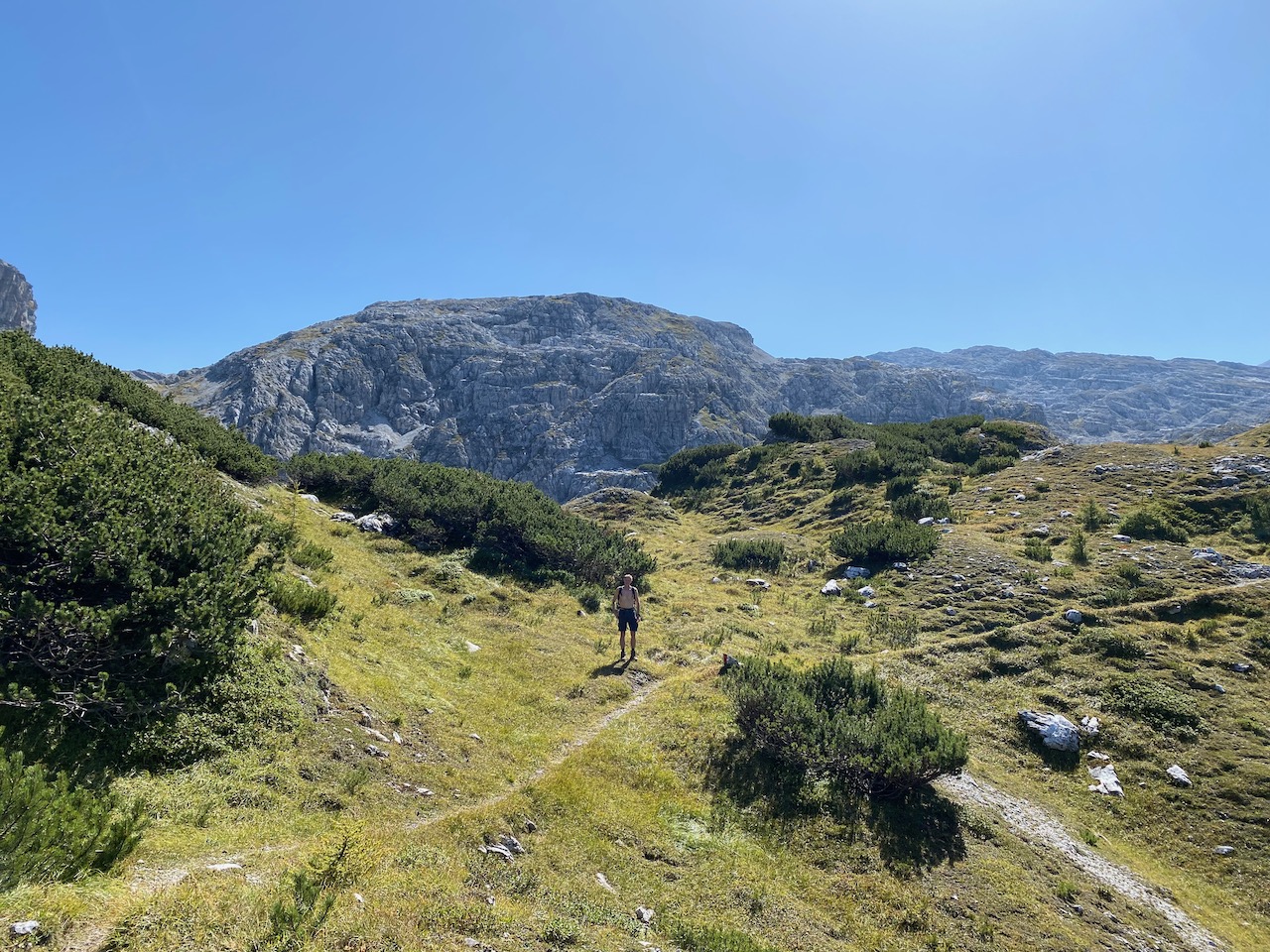
The beautiful and stable, almost late summer weather just invites you to go up the mountains. For the planned hike in the valley head of Flachau, we take the car this time and drive to the car park at the exit of the Marbachtal in Flachauwinkl. From there we first walk along the Tauern motorway A10 to the Gasthofalm. Then we follow the signs to the Mosermandl and climb quite steeply to the dilapidated Obere Gasthofalm (2020 m). However, most of the trail leads through the forest, so the sun and heat are bearable on the ascent. However, it is advisable to take enough liquid with you, as there are hardly any opportunities to fill up on water.
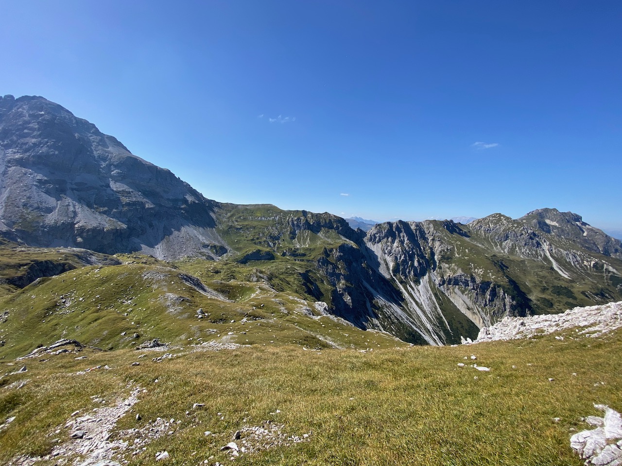
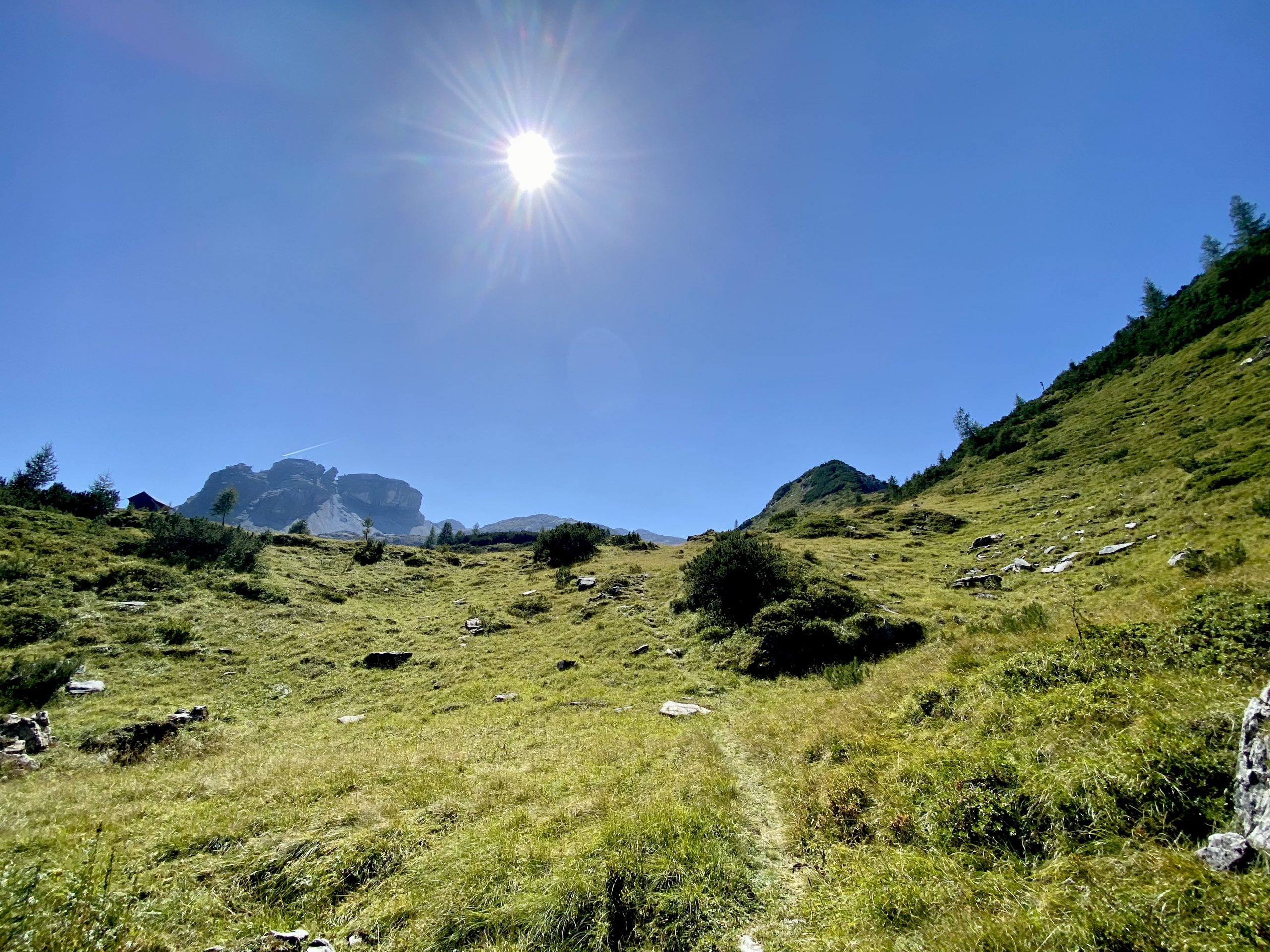
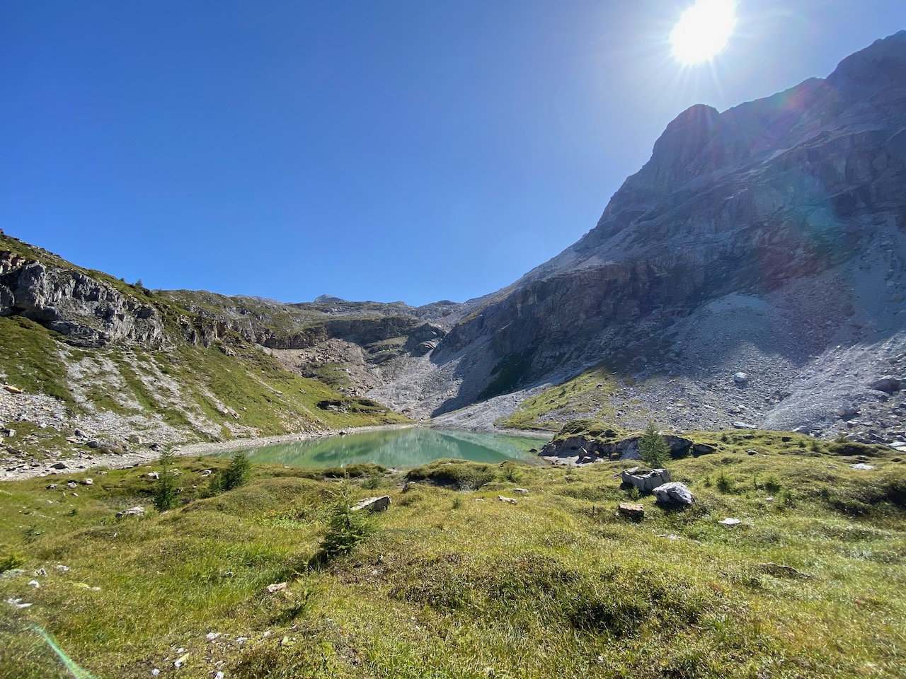
The trail continues to the Neukarsee, which lies picturesquely and clearly below the Faulkogel. The way there is rewarded by magnificent views in a dreamlike alpine landscape above the tree line.
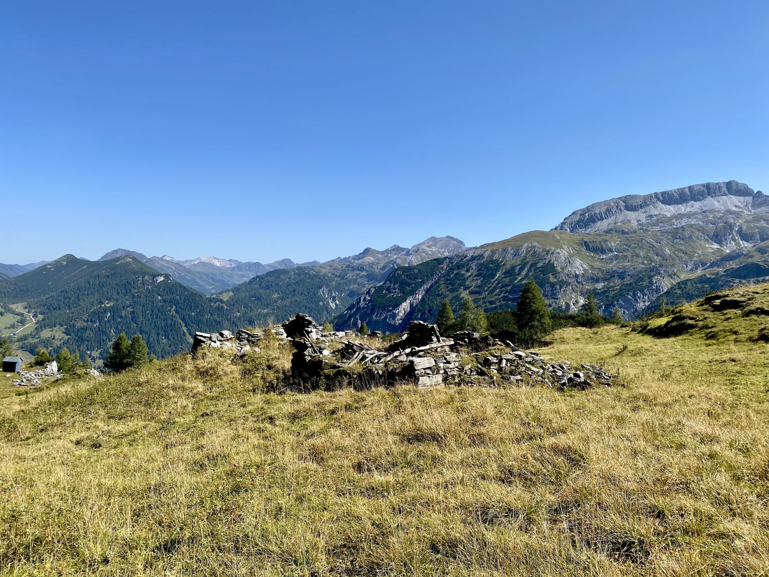
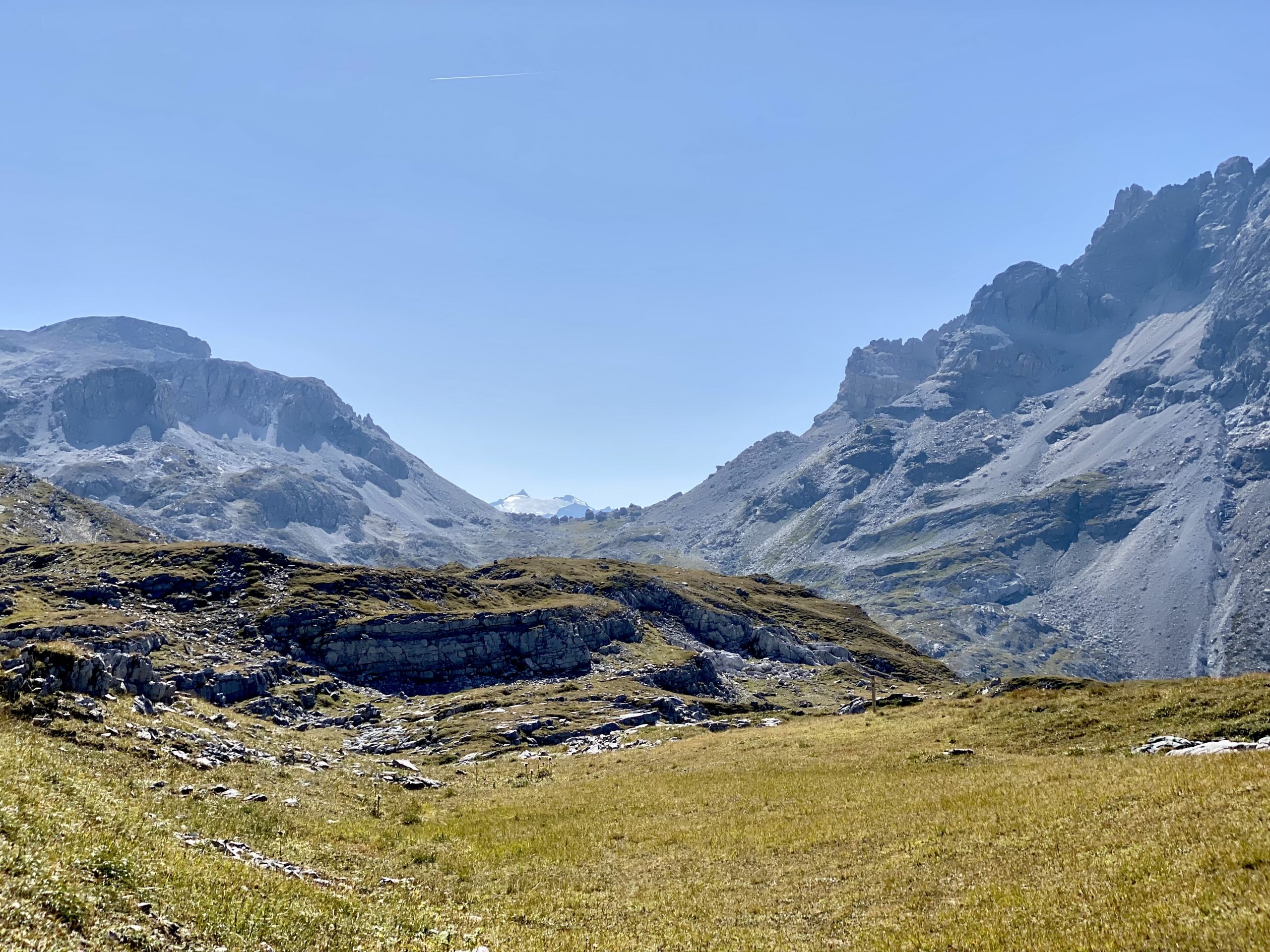
After the Neukarsee, our descent to the Marbachalm begins. In the upper part you walk over numerous scree fields and also over a section of about 250 m secured with ropes. Because of this demanding section, surefootedness and good shoes are also necessary. From the Ursprungsalm, the trail becomes more comfortable again and we are looking forward to reaching the Marbachalmen soon.
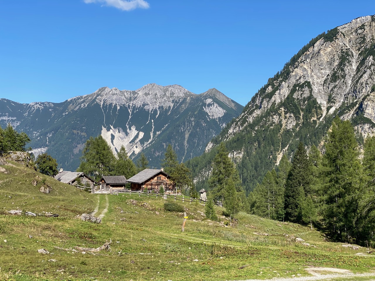
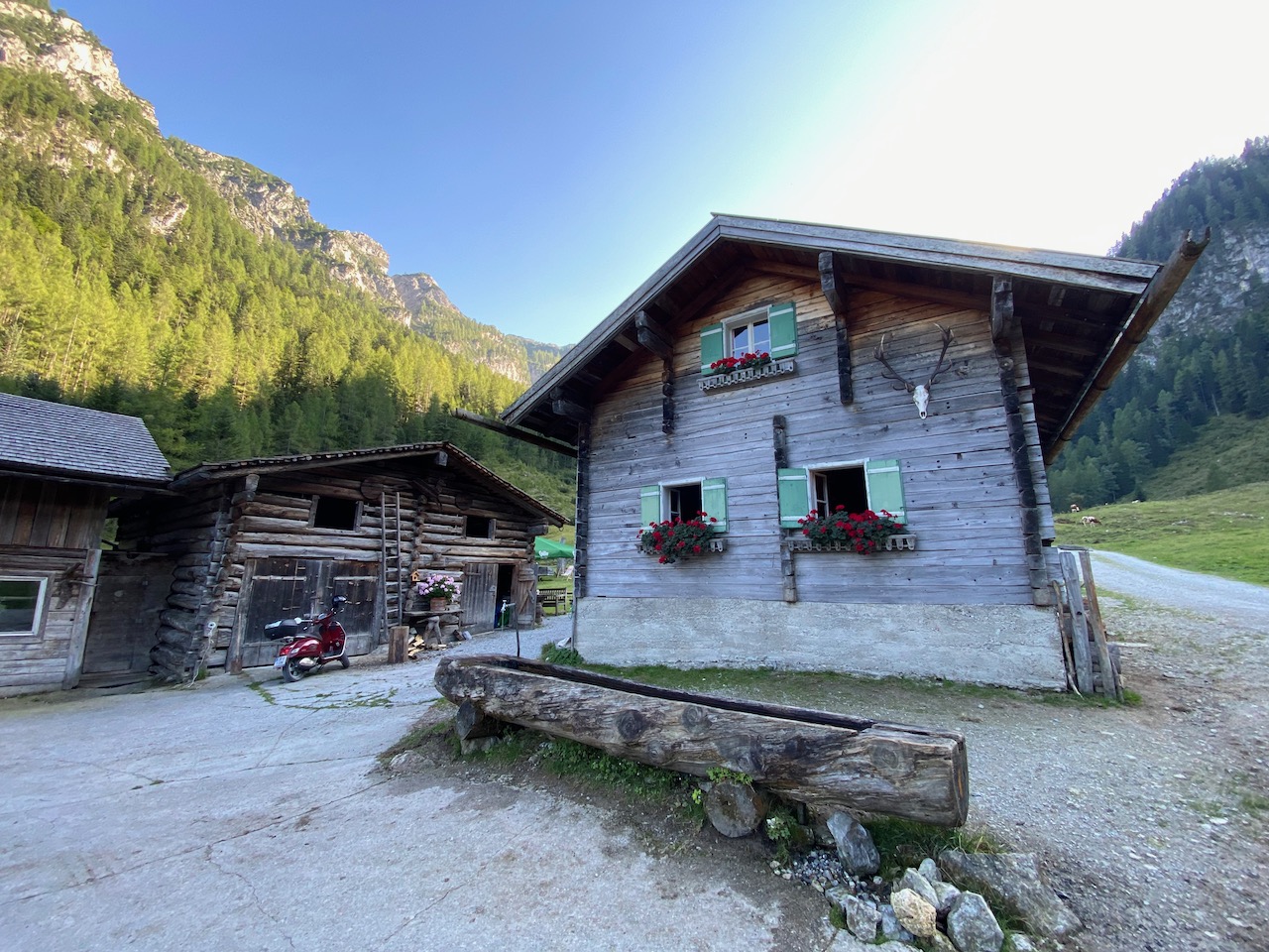
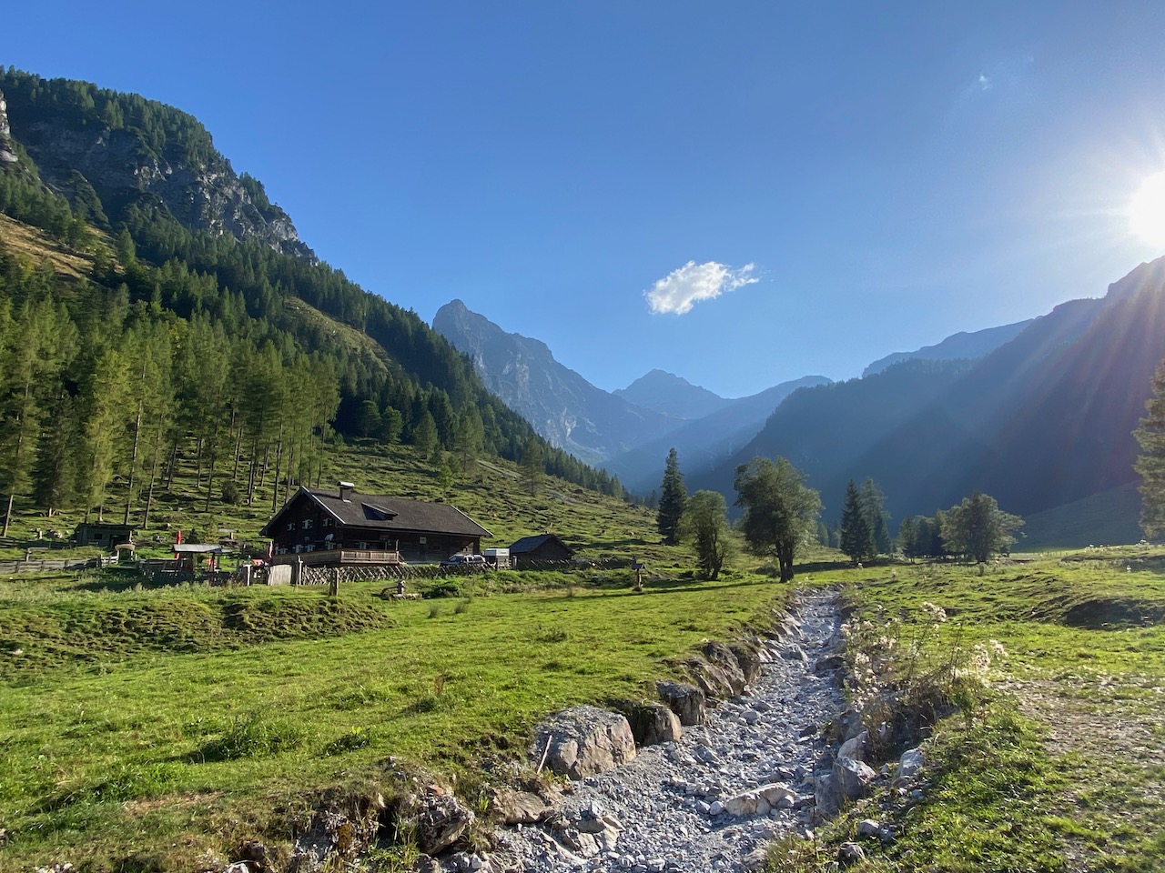
Both the Upper and Lower Marbachalmhütte (Prechtlhütte) offer hikers the opportunity to stop for refreshments. We decide on the Upper Marbachalm Hut, also called the Ennslehen Hut, as it is the first hut for us after a long hike and fortify ourselves with a hearty alpine snack. After the rest, it takes us a good 40-45 minutes to walk comfortably back down the valley to the car park.
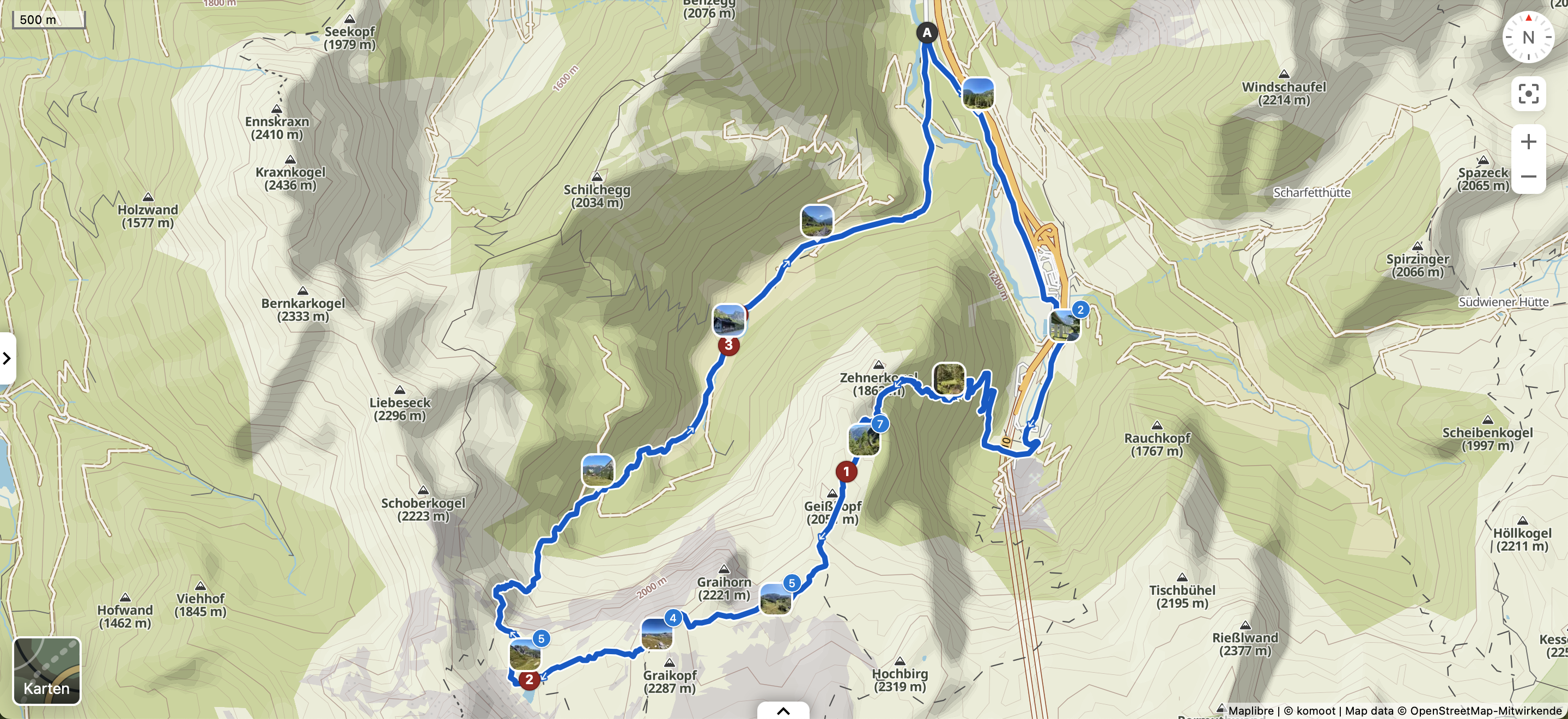
The complete tour with all data such as altitude profile can again be viewed on Komoot: